Log in
All resources
Create a design
594 Free Artworks of Old Maps Of Amsterdam
maps in the rijksmuseum amsterdam
maps by willem and johannes blaeu
bibliothèque nationale de france
hendrik de leth
koninklijke bibliotheek
evert maaskamp
prints of cartouches in the rijksmuseum amsterdam
maps in the stadsarchief amsterdam
maps made in the 17th century
old maps of the tribes of israel
maps by willem and johannes blaeu
maps made in the 17th century
prints of cartouches in the rijksmuseum amsterdam
maps in the rijksmuseum amsterdam
atlas van der hagen (volume 4)
atlas van der hagen
maps by nicolaes visscher i
atlas van der hagen
construction drawings in the stadsarchief amsterdam
daniel stoopendaal
construction drawings in the stadsarchief amsterdam
daniel stoopendaal
old maps of périgueux
1660s maps of france
old maps of austria
1695 books
maps in the stadsarchief amsterdam
maps by carolus allard
maps by willem and johannes blaeu
maps made in the 17th century
maps by willem and johannes blaeu
maps made in the 17th century
maps by willem and johannes blaeu
maps made in the 17th century
maps by willem and johannes blaeu
maps made in the 17th century
drawings in the stadsarchief amsterdam
johan martinus anthon rieke
atlas van der hagen (volume 2)
atlas van der hagen
old maps of haarlem
museum haarlem
maps of the dutch east india company - mauritius
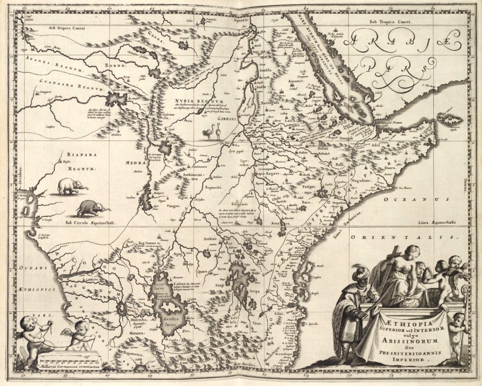
1753 maps of africa
old maps of the western hemisphere
jacob van meurs
maps in the stadsarchief amsterdam
daniël veelwaard (i)
atlas of the great elector
archipelagus orientalis
maps of the firth of forth
old maps of fife
frans hogenberg
spanish armada
old maps of the bay of gibraltar
carolus allard
old maps of the dutch gold coast
1818 maps
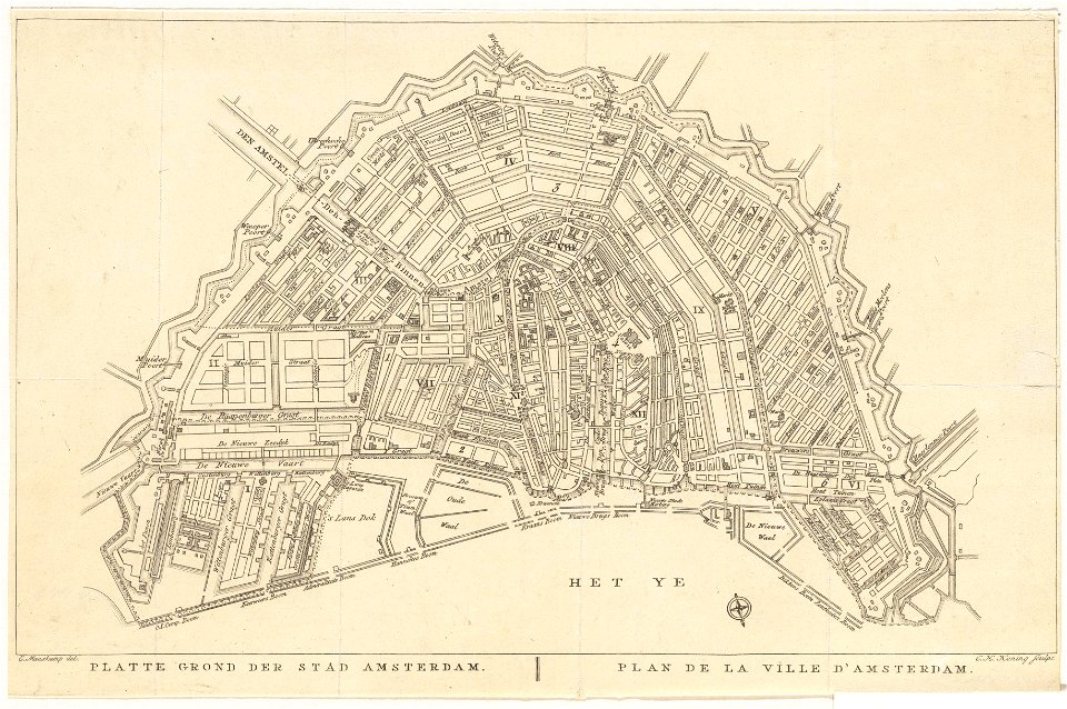
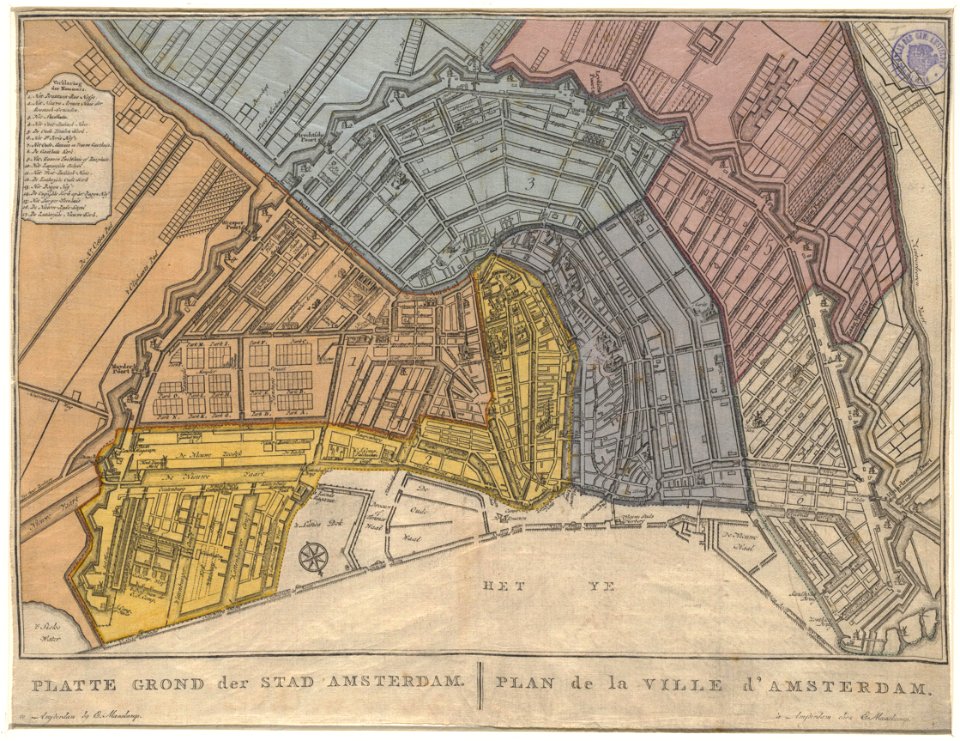
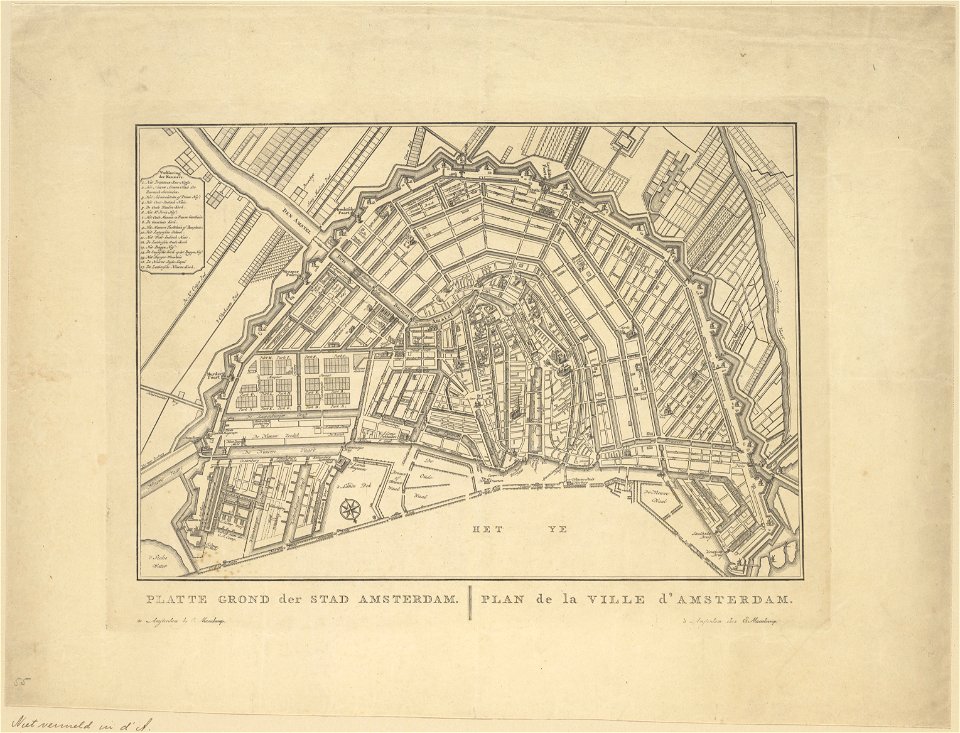
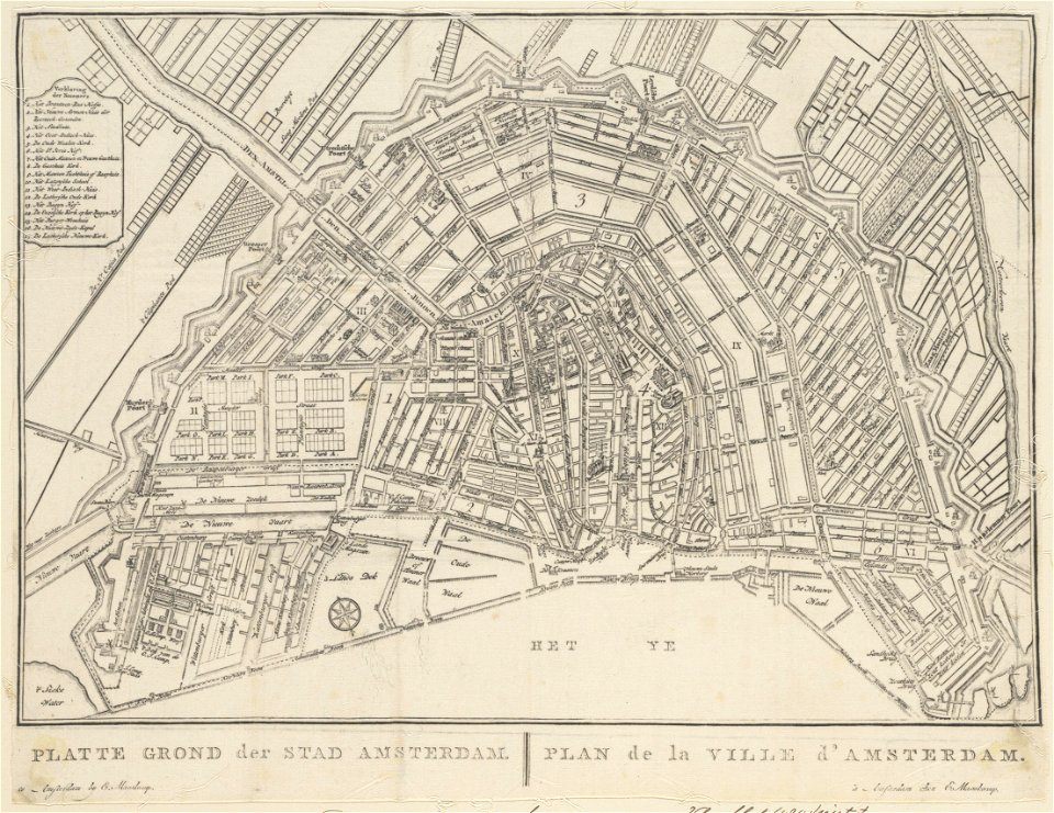
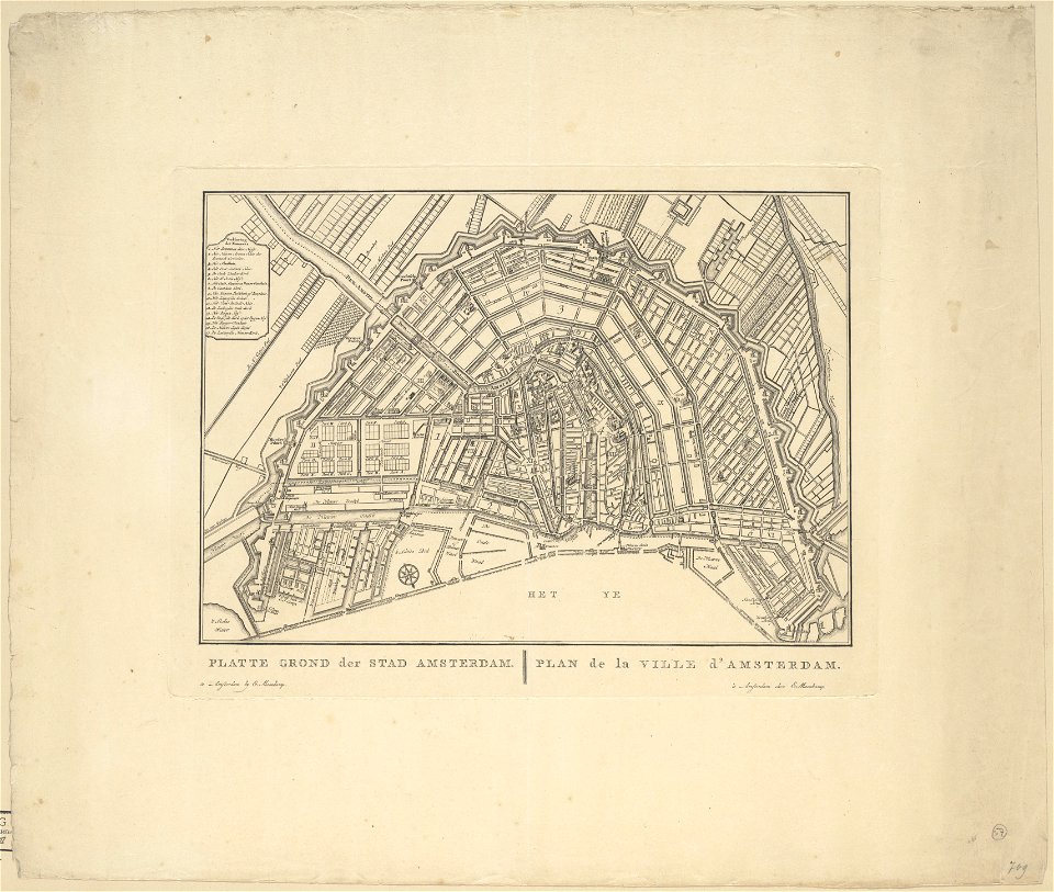
old maps of amsterdam
evert maaskamp
old maps of amsterdam
evert maaskamp
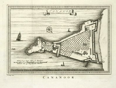
maps of the dutch east india company - india
historical images of st. angelo fort
maps of africa in the robert c. williams paper museum
1665 maps of africa
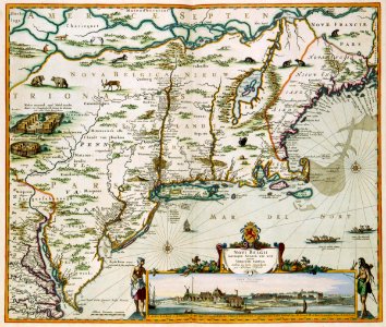
old maps of new england
1684
maps in the rijksmuseum amsterdam
old maps of franeker
het zegepralent kennemerlant
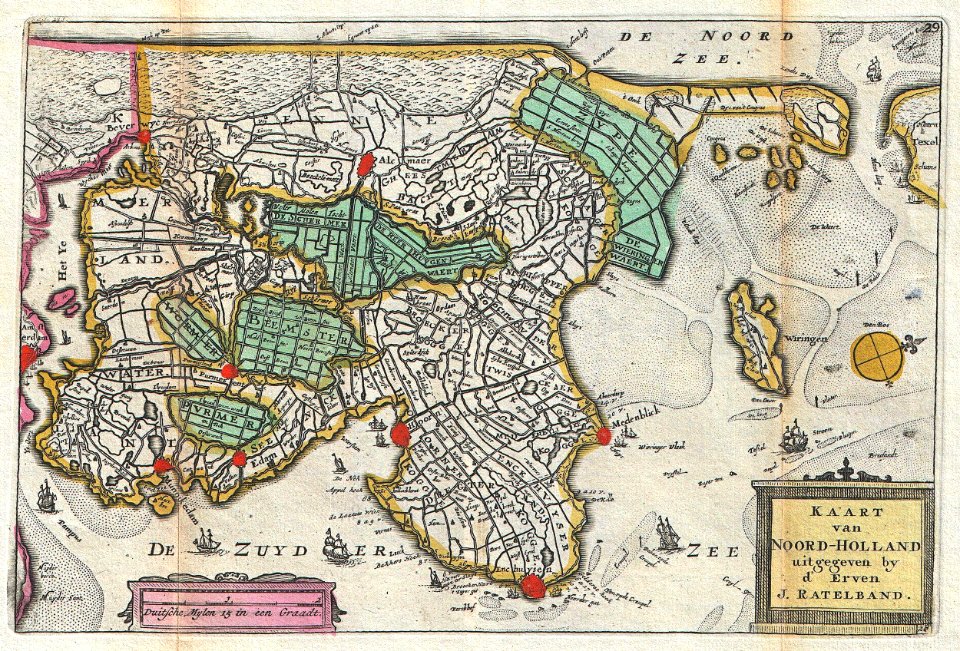
hendrik de leth
old maps of north holland
daniel de la feuille
maps in the rijksmuseum amsterdam
maps by willem and johannes blaeu
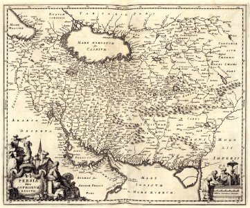
maps of the dutch east india company - iran
old maps of the dutch east india company
maps in the rijksmuseum amsterdam
hendrik de leth
maps in the rijksmuseum amsterdam
old maps of tholen
old maps of auvergne
1660s maps of france
drawings by jan toorop in the rijksmuseum amsterdam
expressionism,symbolism,pointillism
le neptune francois
charles pène 8th
maps in the rijksmuseum amsterdam
published by frans buffa & zonen
flemish 16th-century prints in the rijksmuseum amsterdam
engravings by frans hogenberg
1750s maps of saxony
old maps of leipzig
robert gordon of straloch
old maps of sutherland
maps of goa by linschoten
baroque
old maps of amsterdam
evert maaskamp
prints in the stadsarchief amsterdam
daniel stoopendaal
maps from gallica
old maps of rome
old maps of spitsbergen
1642
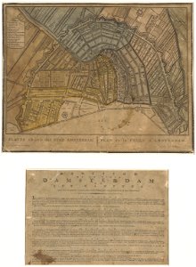
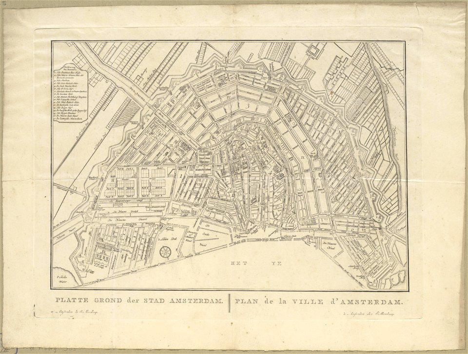
old maps of amsterdam
evert maaskamp
map of maastricht by willem and johannes blaeu (1649)
markt (maastricht)
biblioteca di storia e cultura del piemonte "giuseppe grosso"
maps of italy
maps by jakob van der schley
old maps of southeast asia
maps in the rijksmuseum amsterdam
old maps of franeker
prints of cartouches in the rijksmuseum amsterdam
maps in the rijksmuseum amsterdam
old maps of salvador (bahia)
jacob van meurs
old maps of amsterdam
hendrik de leth
cartouches by willem and johannes blaeu
maps made in the 17th century
dutch 17th-century prints in the rijksmuseum amsterdam
old maps of roermond
dutch 17th-century prints in the rijksmuseum amsterdam
old maps of roermond
renaissance
1578
prints by jan luyken in the rijksmuseum amsterdam
maps in the rijksmuseum amsterdam
lionnois, forest, beauiolois et masconnois (old maps)
maps by willem and johannes blaeu
maps by willem and johannes blaeu
old maps of fife
old maps of the dutch east india company - africa
1668
maps by willem and johannes blaeu
old maps of malta
old maps of haarlem
ideal city
maps in the rijksmuseum amsterdam
maps by isaak tirion
prints by jan luyken in the rijksmuseum amsterdam
maps in the rijksmuseum amsterdam
maps in the stadsarchief amsterdam
hendrik de leth
maps by willem and johannes blaeu
william camden
old maps of the strait of gibraltar
hendrik de leth
prints by jan luyken in the rijksmuseum amsterdam
maps in the rijksmuseum amsterdam
maps in the rijksmuseum amsterdam
published by frans buffa & zonen
maps in the stadsarchief amsterdam
claes jansz. visscher (ii)
maps in the stadsarchief amsterdam
old maps of amsterdam
state of the presidios
old maps of elba
maps by willem and johannes blaeu
1630s maps of the world
maps in the rijksmuseum amsterdam
18th-century maps showing history
atlas ou representation du monde universel t. 1 (1633)
old maps of beauvais
atlas ou representation du monde universel t. 1 (1633)
maps by hendrik hondius the younger
atlas ou representation du monde universel t. 1 (1633)
maps of france by hendrik hondius
atlas ou representation du monde universel t. 1 (1633)
old maps of languedoc
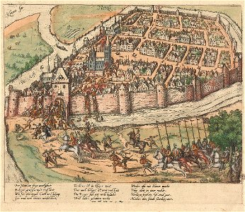
siege of hulst 1596
old maps of hulst
maps by daniel stoopendaal
biblical maps
old maps of whole wales (alone)
1670s maps of wales
rerum et urbis amstelodamensium historia
old maps of amsterdam
19th-century maps of groningen (province)
old maps of groningen (city)
old maps of the strait of gibraltar
maps in the rijksmuseum amsterdam
old maps of the strait of gibraltar
hendrik de leth
atlas ou representation du monde universel t. 1 (1633)
maps by hendrik hondius the younger
maps in the stadsarchief amsterdam
hendrik de leth
maps in the stadsarchief amsterdam
hendrik de leth
old maps of curaçao
johannes leupenius
prints published by claes jansz. visscher (ii) in the rijksmuseum amsterdam
maps in the rijksmuseum amsterdam
nederlandse en buitenlandse gebeurtenissen
album met historieprenten van hogenberg
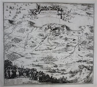
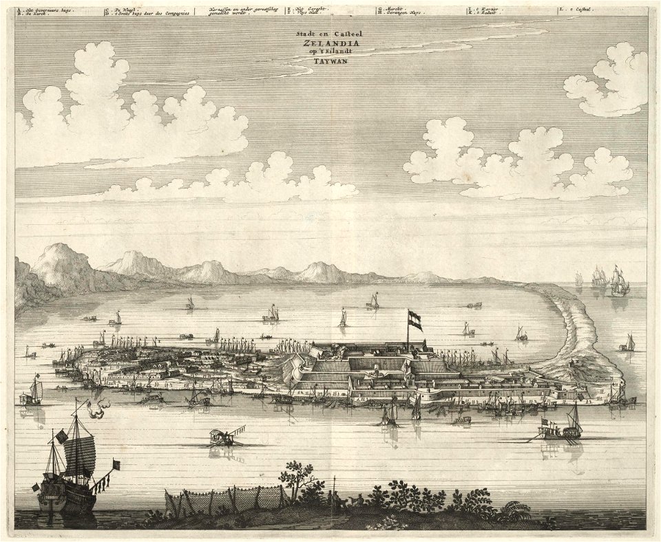
1670s works in taiwan
1670 maps
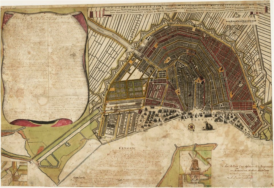
old maps of amsterdam
evert maaskamp
old maps of amsterdam
evert maaskamp
old maps of amsterdam
evert maaskamp
old maps of amsterdam
evert maaskamp
201 - 300 of 594
Next page
/ 6